Chakrata Trip
Chakrata is a picturesque cantonment town, ninety-two kms from Dehradun. It is a sleepy town devoid of any commercial activity or tourist crowd. Known for its salubrious climate and the panoramic views of the Himalayas and the surrounding area, Chakrata is slowly getting the attention of tourists running away from maddening crowd. It was in August 2002 that we decided to make a short trip to Chakrata, predominantly populated by Indian Army. Chakrata was made into a cantonment in 1866 at the recommendation of Colonel Hume.
We started early from Delhi and reached Dehradun after covering 250 kms in approximately five hours.
 The highway is in general well maintained with few bad patches and passes Meerut, Mujaffarnagar and
Roorke. The best time to travel on this road is early morning when traffic is at its minimum. Night travel
on this road is a bit unsafe, and should be avoided if possible. From Roorkee, one can go to Dehradun
via Haridwar and Rishikesh. A shorter and more beautiful route is via Rajaji National Park with last few
kms of road curving through the dense forested foothills of the lower Himalayas called Shivaliks.
The highway is in general well maintained with few bad patches and passes Meerut, Mujaffarnagar and
Roorke. The best time to travel on this road is early morning when traffic is at its minimum. Night travel
on this road is a bit unsafe, and should be avoided if possible. From Roorkee, one can go to Dehradun
via Haridwar and Rishikesh. A shorter and more beautiful route is via Rajaji National Park with last few
kms of road curving through the dense forested foothills of the lower Himalayas called Shivaliks.
Dehradun lies in a scenic valley at the foothills of Shivalik range and is surrounded by Ganga in the east and Yamuna in the west. It was a good place for retirement but has become crowded, especially after becoming the capital city of new state of Uttaranchal. Dehradun is well known for its Forest Research Institute and Indian Military Academy. The two institutes lie on the outskirts of the city enroute to Paonta Sahib.
Traveling west towards Paonta Sahib, we reached a place called Herbertpur. From here, a road bifurcates towards Vikasnagar and Kalsi. On way to Kalsi we passed Yamuna Hydel Project at Dak Pathar. It is 45 kms from Dehradun and is one km off route from Dehradun-Chakrata road. It is a place worth visiting because of its green lawns, blooming gardens and obviously the Hydel Project. From here one gets a good glimpse of beautiful Yamuna Valley.
One reaches Kalsi after crossing Yamuna at a point 3 kms upstream from Dak Pathar. Kalsi is a small
town known for its Ashokan rock edict. Kalsi-Chakrata road is not very broad and gate-system is in
force. Gate opens every two and a half hour with timings of 7:00 am, 9:30 am, 12:00 noon, 2:30 pm
and 5:00 pm. Crossing of traffic from two ends takes place at a place called Sahiya, 20 kms from Kalsi.
The road between Kalsi and Sahiya is along a small hilly river and is prone to landslides.
 Hence it is
advised not to plan a trip during rainy season especially if one is new to hill driving.
Hence it is
advised not to plan a trip during rainy season especially if one is new to hill driving.
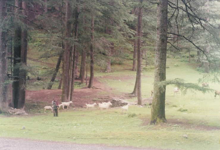
Taking the 12:00 noon gate, we reached Chakrata at 2:30 pm. Located at an altitude of 2135 m, Chakrata
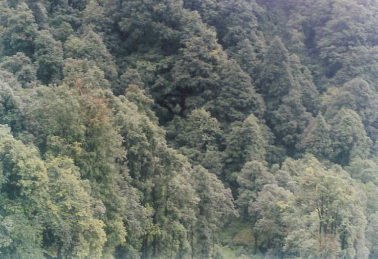
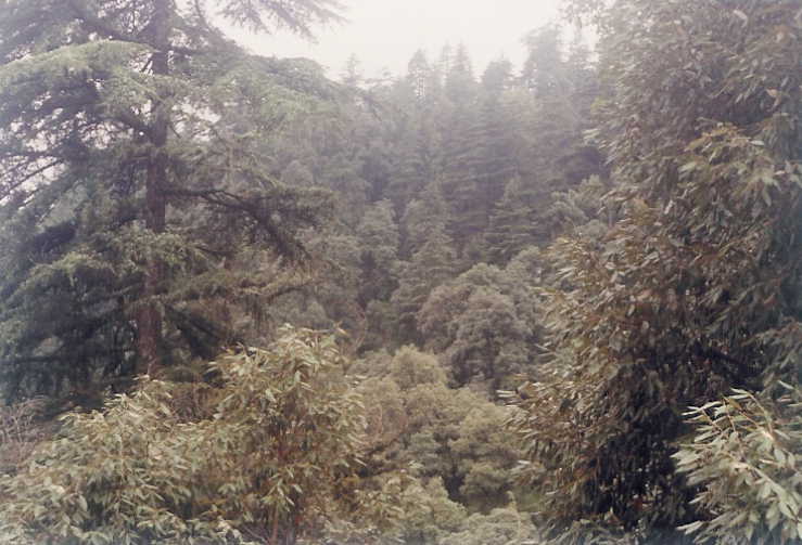
abounds in conifers, rhododendrons, oaks and other high altitude trees. Though there are few good rest
houses in Chakrata, one is advised to book accommodation in advance especially in peak season.
Rainy season (July-September) is the only off-season in Chakrata. Hotel Snow-View is approximately
1 km from Chakrata Market and is a good place to stay.
 Another is Hotel Himalayan Paradise, which
is 4 kms from Chakrata on way to Tiger Fall. Hotel Snow View is a better place to stay with its large
rooms and panoramic view of the Himalayas and surrounding area. It situated amidst dense forest of
Deodar and Rhododendrons
Another is Hotel Himalayan Paradise, which
is 4 kms from Chakrata on way to Tiger Fall. Hotel Snow View is a better place to stay with its large
rooms and panoramic view of the Himalayas and surrounding area. It situated amidst dense forest of
Deodar and Rhododendrons
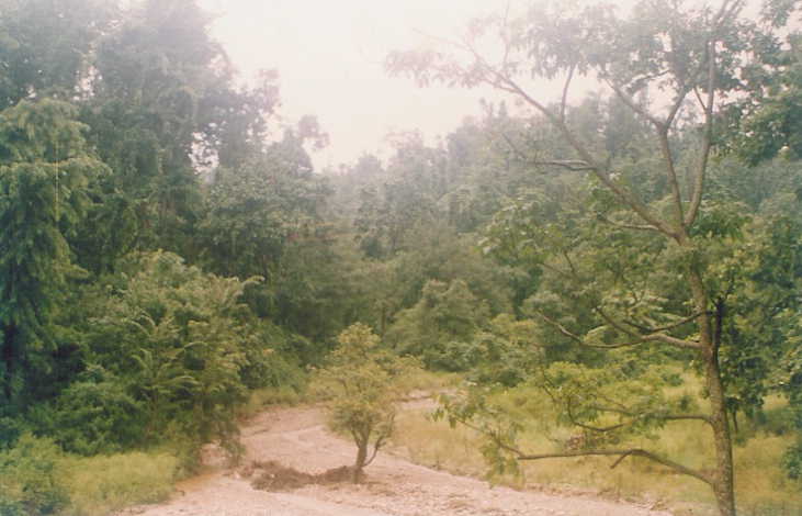
Tiger Fall is approximately 18 kms from Chakrata, the name itself coming from great roar of the fall. It
lies on road to Lakhmandal and is barely motorable in rainy season.
 For those interested in a bit of
adventure, there is a trek route through the forests, straight down to Tiger Hill. The trekking distance
is 5 kms but requires steep downhill and uphill climb and the surrounding forest is full of leaches and
one must take appropriate precautions. The natives claim that fall is 95 m in height.
For those interested in a bit of
adventure, there is a trek route through the forests, straight down to Tiger Hill. The trekking distance
is 5 kms but requires steep downhill and uphill climb and the surrounding forest is full of leaches and
one must take appropriate precautions. The natives claim that fall is 95 m in height.
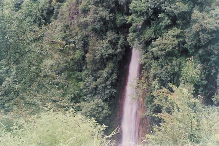 We could not go
to the bottom of the fall because of post monsoon period, although the year was a dry one with almost
very little rains. The fall itself is worth visiting at any time of the year.
We could not go
to the bottom of the fall because of post monsoon period, although the year was a dry one with almost
very little rains. The fall itself is worth visiting at any time of the year.
Deoban top, at an elevation of 2865 metres, is eleven kms from Chakrata. It is again a picturesque place providing panoramic view of Himalayan Peaks. One can see Nanda Devi, Trishul and Bandar Punchh peaks from here. We could not visit Deoban as it had been closed for civilians because of army training.
One can also visit Koti-Kanesar, 26 kms from Chakrata.
 It is an untouched forest area surrounding a
beautiful meadow. There is a forest rest house in Koti-Kaneshar. One can either camp in the forests of
Koti-Kanesar or stay in Forest Rest House after obtaining permission from the forest department in
Kalsi. The road is narrow, but motorable, with one or two bad patches which are prone to landslide.
Buses ply on this route but frequency is low and timing uncertain.
It is an untouched forest area surrounding a
beautiful meadow. There is a forest rest house in Koti-Kaneshar. One can either camp in the forests of
Koti-Kanesar or stay in Forest Rest House after obtaining permission from the forest department in
Kalsi. The road is narrow, but motorable, with one or two bad patches which are prone to landslide.
Buses ply on this route but frequency is low and timing uncertain.
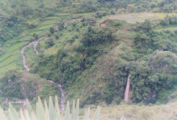
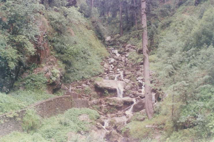 There is a beautiful stream few kms
before Koti-Kanesar and one can spend some time near the stream. Some trees are so old that they
have circumference of around 6 m.
There is a beautiful stream few kms
before Koti-Kanesar and one can spend some time near the stream. Some trees are so old that they
have circumference of around 6 m.
After spending two days in and around Chakrata, it was time to return. A road connects Chakrata to Yamuna Bridge and thereon to Mussourie, which is 77 kms from Chakrata. Kempty Falls lie on this road, few kms before Mussourie. The road is narrow and not well maintained either.
We returned via the Kalsi route and spent some time in Sahasradhara (12 kms from Dehradun).
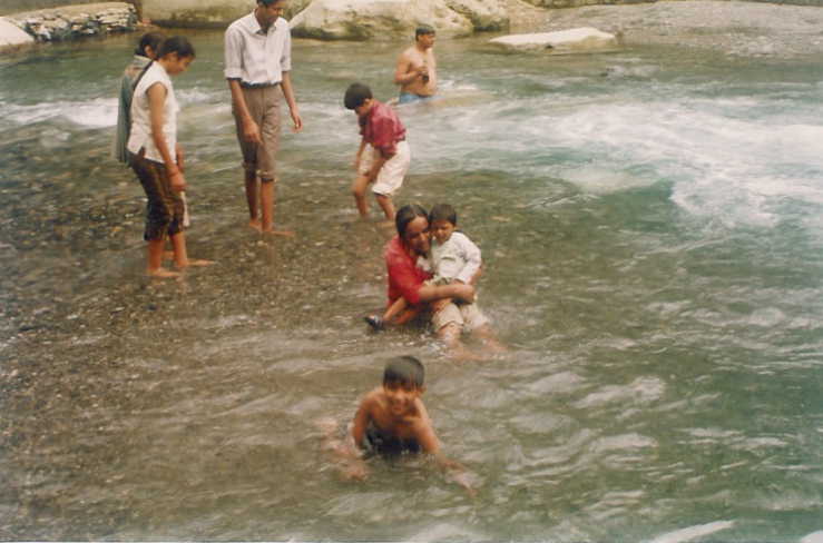 A
bath in the spring at Saharadhara (thousand waterfalls) is an experience to remember. The place has
changed over the years with increase in tourists and hence more food and tea stalls along the stream.
It was a short and good family holiday in a scenic town of Shivalik Himalayas.
A
bath in the spring at Saharadhara (thousand waterfalls) is an experience to remember. The place has
changed over the years with increase in tourists and hence more food and tea stalls along the stream.
It was a short and good family holiday in a scenic town of Shivalik Himalayas.